
Drones to track traffic movement, spot congestion during BRICS Summit in Delhi
10860730 Delhi traffic drone BRICS
Delhi Traffic Police is taking to the skies to keep a closer watch on the Capital’s roads.
For the first time, drones are being used to track traffic movement and spot congestion, with the exercise beginning as part of preparations for the BRICS Summit scheduled to be held in the city on September 12 and 13.
Officials said the drones will also be used during processions, protests and the festive season to monitor arterial roads and other congestion-prone stretches as part of a larger technology-driven traffic management strategy in the Capital.
The move comes against the backdrop of traffic disruptions during the India AI Impact Summit in February, when restrictions and the movement of VIP convoys led to congestion on several roads. Commuters had taken to social media to complain about long delays and traffic snarls, highlighting the challenge of managing vehicular movement during major international events.
The Delhi Traffic Police now wants to use real-time inputs to spot congestion before it spreads and respond faster on the ground.
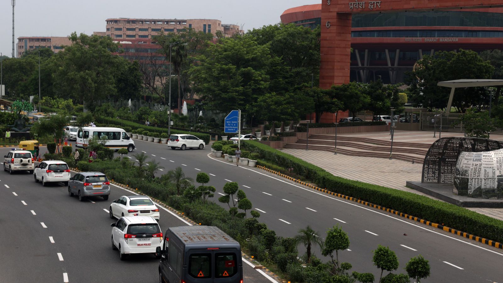
On September 1 and 2, Delhi Police conducted mock traffic rehearsals for the BRICS Summit on key routes. Drones were used to monitor vehicular movement and identify points where traffic was building up.
Additional Commissioner of Police (Traffic, Zone-I) Vijanta Goyal Arya said the aerial view would help traffic teams assess the situation and intervene in time.
The aerial assessment helps traffic teams monitor congestion build-up and take prompt measures for smoother flow of vehicles, Arya added.
The drones will be particularly useful at inter-state border points, where queues can quickly build up. “Drone-based inputs help assess the length and spread of queues, identify choke points and support better on-ground regulation and dispersal strategies,” Arya said.
The aerial monitoring will also cover major transit hubs, including ISBTs, New Delhi railway station and other railway stations, where heavy vehicular and passenger movement is common.
Officials said the real-time inputs gathered through drone surveillance could be used to fine-tune signal timings, deploy traffic personnel where they are needed and plan diversions to ease congestion.
Going forward, officials said, the plan is to gradually extend drone surveillance to major arterial roads, important intersections and other busy stretches across Delhi. Drones will also be used during festive seasons and large gatherings, including processions and protests.
Technology-driven traffic management has increasingly emerged as one of the priorities for the Delhi Police, particularly as the Capital hosts high-profile international events and witnesses growing traffic pressure on its road network.
According to officials, drones will supplement CCTV cameras and personnel deployed on the roads, giving traffic control rooms a wider view of how a jam is developing and where it is spreading.
Delhi NCR Civic & Governance
Published: 2 Sept 2026
SuchnaSetu provides verified structured reporting based on official public records and circulars. Primary publication and copyright remain with the issuing authority.